Satellite Remote Sensing
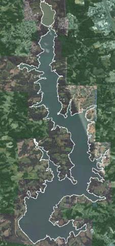
The quantitative estimation of the terrestrial material discharge potentials (Stoffaustragspotenziale) can be decisively improved by satellite-based recording of the catchment areas of the artificial lakes. The vegetation cover, dynamics and vitality of agricultural and forestry surfaces as well as different soil characteristics can be represented by satellite image data. Besides the vegetation, sealed areas, open ground etc. are determined, so that direct conclusions can be drawn about the degree of total vegetation coverage. This information can then be used as a basis for the material discharge modeling (Stoffaustragsmodellierung).

Contact: Dr. Andreas Müterthies
mailto: andreas mueterthies ∂does-not-exist.eftas com
